

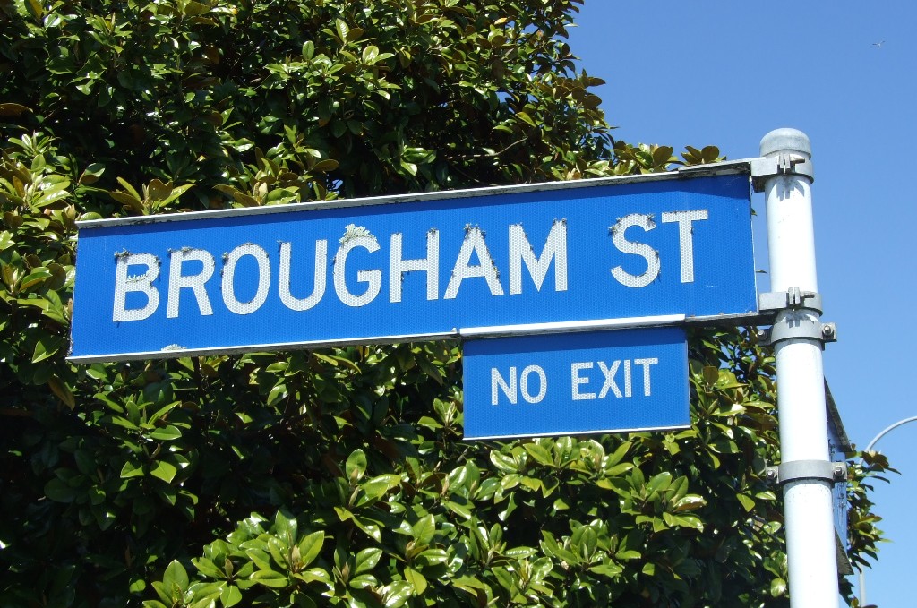
In the early days of New Plymouth's settlement, the public tended to use Brougham Sreet as the main street, even though the surveyor, Frederic Carrington, had marked Devon Street as the main thoroughfare. Brougham Street was the first New Plymouth street that people encountered when they arrived in the little settlement because it provided access from the beach just west of the Huatoki River mouth where ships anchored.
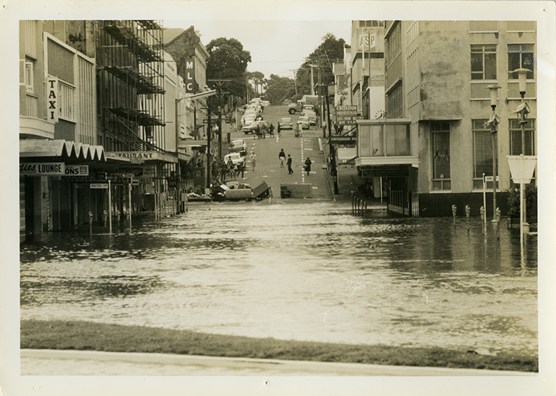
To preserve the strict geometric pattern laid down by Carrington, Brougham Street was formed with a straight side against the riverbank, restricting the meanderings of the Huatoki to a regimented line. It used to flow west to join the Mangaotuku Stream before spreading out into an extensive pool which, at high tide, covered almost the entire area between Brougham and Currie Streets. From this pool it flowed across a broad sandy beach to the Tasman Sea.
In its confined course, the Huatoki eventually became a recurrent flood nuisance, showing that nature can react unpredictably to interference.
The railway line, opened in 1875, ran along the west bank of the Huatoki Stream beside Brougham Street, crossed Devon Street on a level crossing and went under a narrow bridge in Powderham Street on its way out of town. The Devon Street crossing at the Brougham Street intersection proved contentious and dangerous, but it was not until 1907 that it was removed when the railway line was altered to the present route.
Brougham Street takes its name from the 250-ton barque, Brougham, placed at Carrington's disposal by the New Zealand Company to help him select a suitable site for New Plymouth. In February 1841, the Brougham brought surveyors, assistant surveyors, draughtsmen and other staff to New Plymouth from Wellington to begin laying out the settlement for the New Zealand Company.
This story was originally published in the Taranaki Daily News.
Please do not reproduce these images without permission from Puke Ariki.
Contact us for more information or you can order images online here.


