


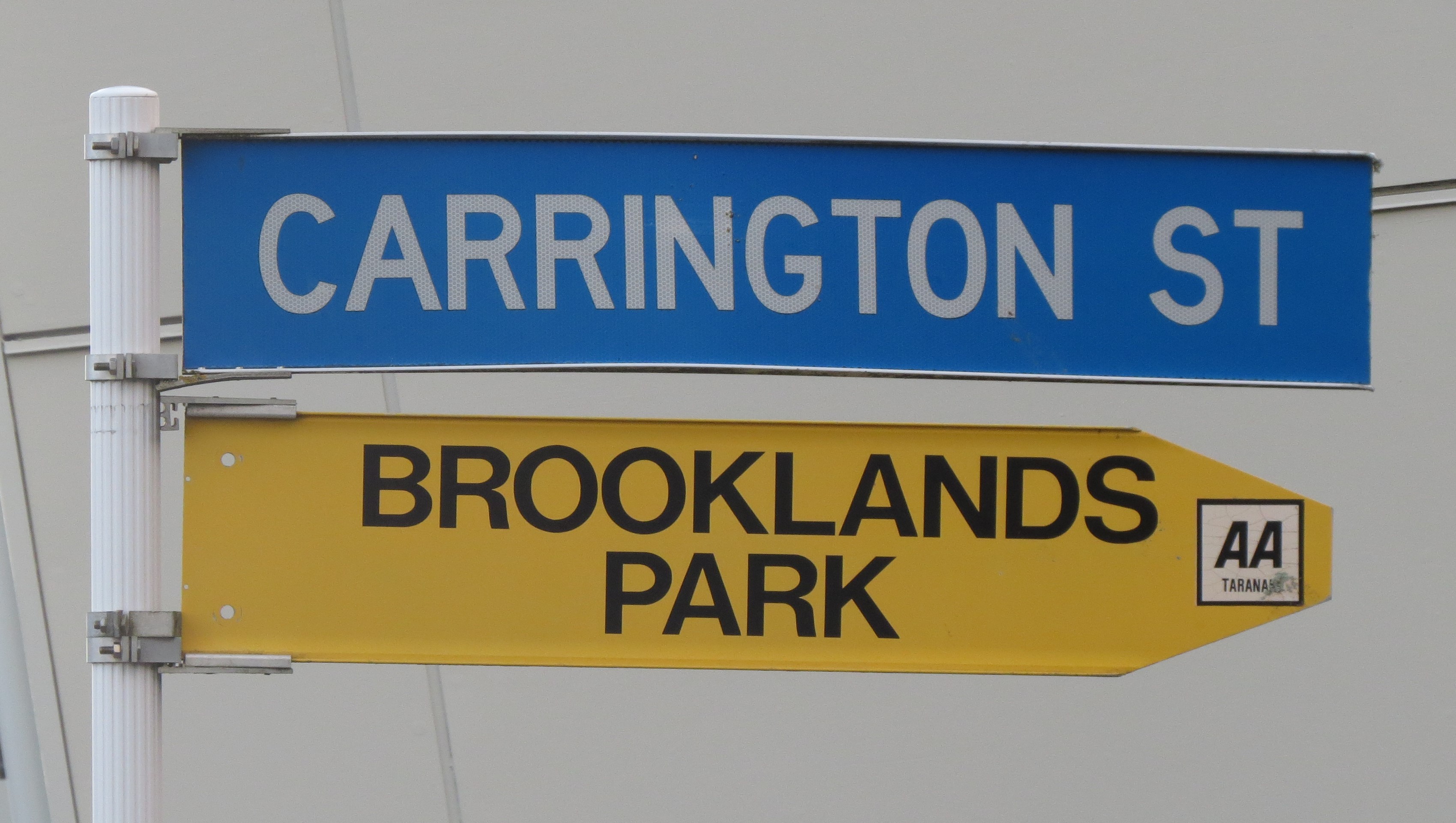
Carrington Street runs from central New Plymouth to just south of the intersection with Saxton Road, when it becomes Carrington Road. Both thoroughfares were named after the man once known as the father of New Plymouth.
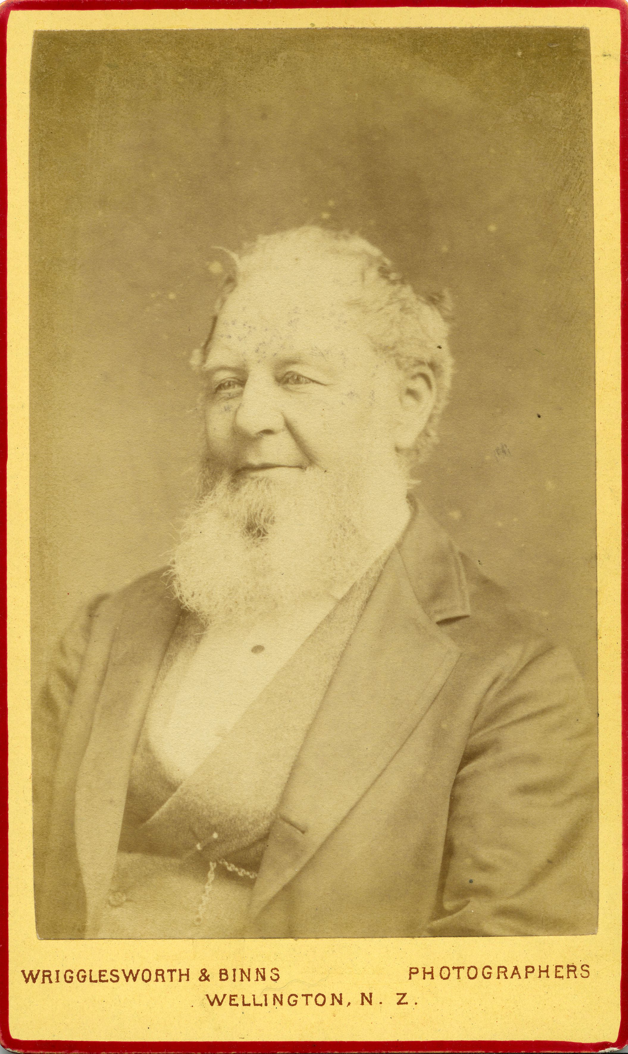
Frederic Alonzo Carrington (1807-1901) selected the location of the town under the auspices of the Plymouth Company. He arrived in Taranaki on the ship Brougham in February 1841 and began surveying the area. In November of that year he drew up his plans showing New Plymouth laid out in a tidy grid with 2267 quarter-acre sections and the so-called green or town belt separating future suburban districts.
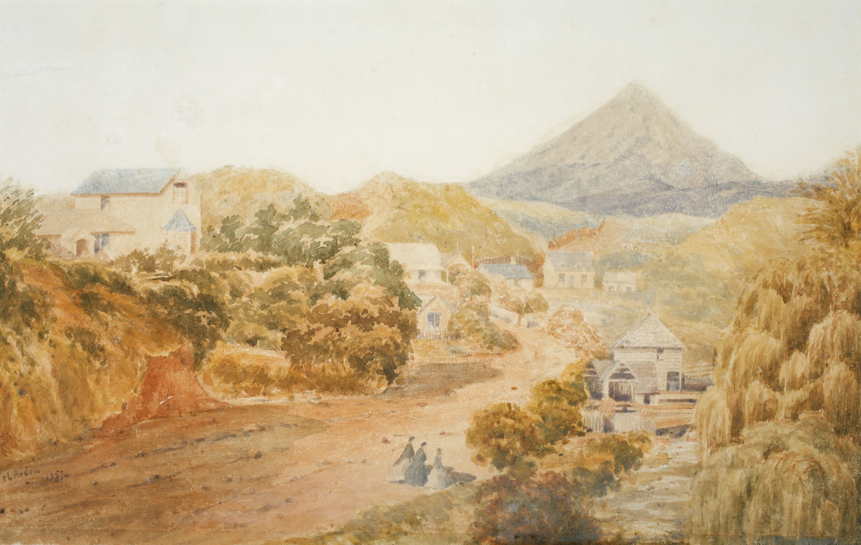
The first Plymouth Company emigrants from Devon and Cornwall may have been expecting a more organised settlement, finding only “a few vague lines cut through the fern between the two rivers [Te Hēnui and Huatoki]”. They had to camp on the beach in the meantime but Carrington’s vision eventually became a reality.
Frederic returned to England in 1843, disillusioned with his treatment by the Plymouth Company, but in 1857 he and his wife and children returned for good. Decades of public service followed, including appointments as Government Engineering Surveyor, Superintendent of Taranaki Province and Member of Parliament. Carrington was also instrumental in securing funds for the creation of New Plymouth harbour, laying the first stone for the breakwater at the port in 1881.
Frederic Carrington died on 15 July 1901 and is buried in Te Hēnui Cemetery. A marble tablet erected by his daughters in St Mary's Church, now Taranaki Cathedral, celebrates him as “The Father of New Plymouth” and a bronze statue honouring his contribution to the city was unveiled in Robe Street Park in 2012.
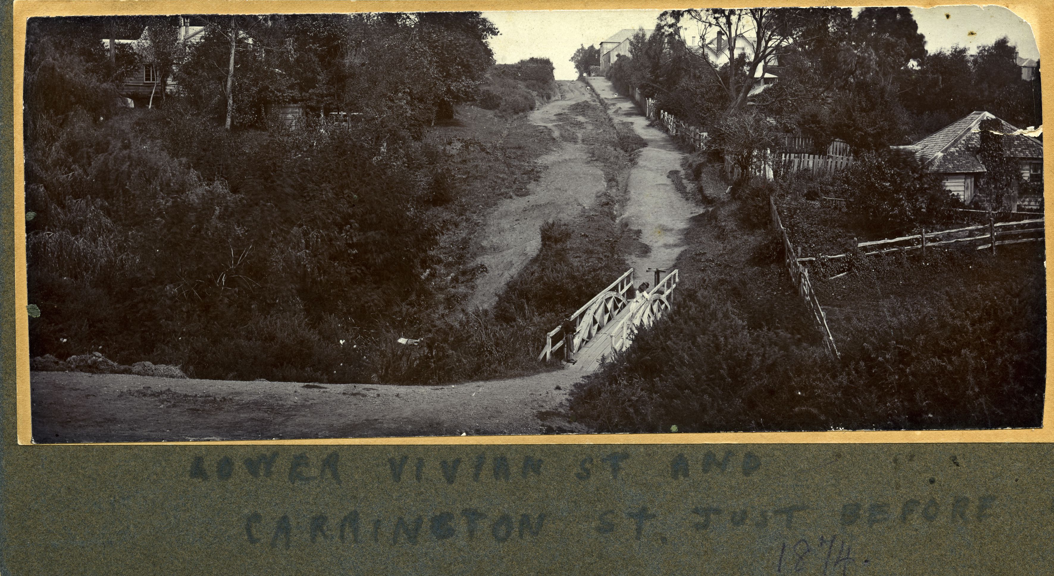
Interestingly, the name of Carrington Street was swapped with that of Victoria Road during the First World War. Early maps had Carrington Road (as it was originally called) running south alongside what later became Pukekura Park. But in 1917 the Borough Council passed a resolution declaring that “Carrington Road from its intersection with Gilbert Street to Holdsworthy [sic] Road [is] hereby altered to and named Victoria Road”. Carrington Road, which at the time reached “the Southern Boundary of New Plymouth Borough”, was not divided into Carrington Street and Road in directories until the 1950s.
This story was originally published in the Taranaki Daily News.
Frederic Carrington’s survey map of New Plymouth (1842). Te Ara Encyclopedia of New Zealand.
LinkThe ceremony of laying the stone (Taranaki Herald 8 February 1881).
LinkObituary: Mr F.A. Carrington (Taranaki Herald 15 July 1901)
Link'Victoria Road' and 'Carrington Road' hereby altered (Taranaki Daily News 8 November 1917)
LinkDepartment of Lands and Survey New Plymouth map (1909). National Library of New Zealand (MapColl-NZGB-2/10/114/Acc.54800).
LinkPlease do not reproduce these images without permission from Puke Ariki.
Contact us for more information or you can order images online here.


