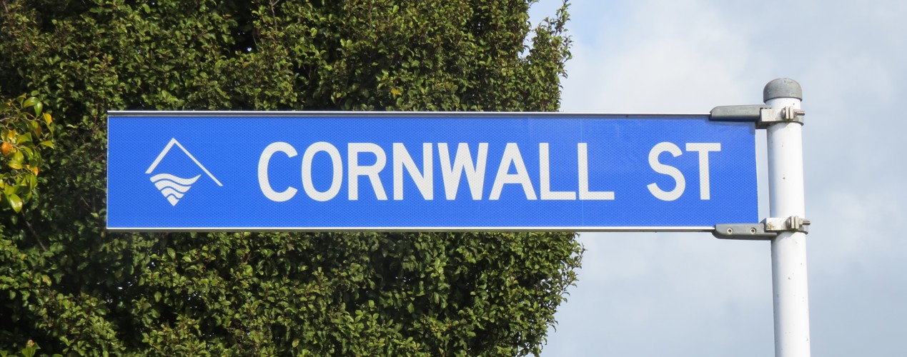
 Cornwall Street sign (2021). Rachel Sonius. Word on the Street image collection.
 Cornwall Street sign (2021). Rachel Sonius. Word on the Street image collection.
Cornwall Street runs between Brooklands Road and Somerset Street in New Plymouth, near Brooklands Park.
The street was created in 1941, legalised in 1943 then developed after the Second World War to provide much-needed housing. Its name, like those of many of the surrounding streets, was chosen from the southwest counties of England, birthplace of many early Pākehā settlers.
Plymouth in Devon also has a Cornwall Street. Destroyed along with much of the city during the so-called Plymouth Blitz in March and April of 1941, the original Cornwall Street was rebuilt as a wide boulevard running east to west through the central city.
The name itself comes from the Roman ‘Cornovii’, meaning ‘the horn people’ – a reference to the Celtic tribe’s territory being at the end of a long peninsula. The area was first settled around 10,000BC after the last Ice Age, and is home to more Neolithic and Bronze era remains than any other part of Britain. The invading Anglo Saxons came to refer to the people in this part of the island as ‘corn-wealas’, meaning ‘corn-foreigners’, which later became ‘Cornwal’, or ‘Kernow’ in the Cornish language.
A reduction in copper and tin mining, coupled with an agricultural depression, led to the so-called Cornish diaspora in the nineteenth century. Around 250,000 Cornish left the country – it has been estimated that 20% of the entire adult male population, nicknamed ‘Cousin Jacks’, headed overseas every decade.
Hundreds of migrants from Cornwall and Devon made the journey to New Plymouth in the early 1840s, under the auspices of the Plymouth Company. These Cornish settlers made a distinctive contribution to Taranaki, bringing with them skills in dairying, farming technology and what the Encyclopedia of New Zealand describes as “the independence and individualism associated with Wesleyan Methodism”.
This story was originally published in the Taranaki Daily News.
Related plan:
Brooklands State Housing Subdivision DP6845, ICS Pre 300,000 Cadastral Plan Index (Imaged by LINZ)
Plan of the Town and Part of the Settlement of New Plymouth (1842)
LinkPlease do not reproduce these images without permission from Puke Ariki.
Contact us for more information or you can order images online here.