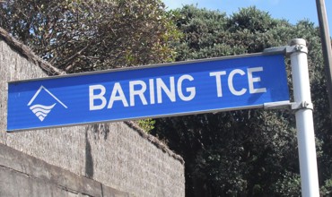
Ōpunakē’s King Street runs parallel to Tasman Street, with Ōpunakē High School at one end and the Waiaua River at the other. It was named after Captain Henry King, who arrived in Taranaki on the ship Amelia Thompson in September 1841.
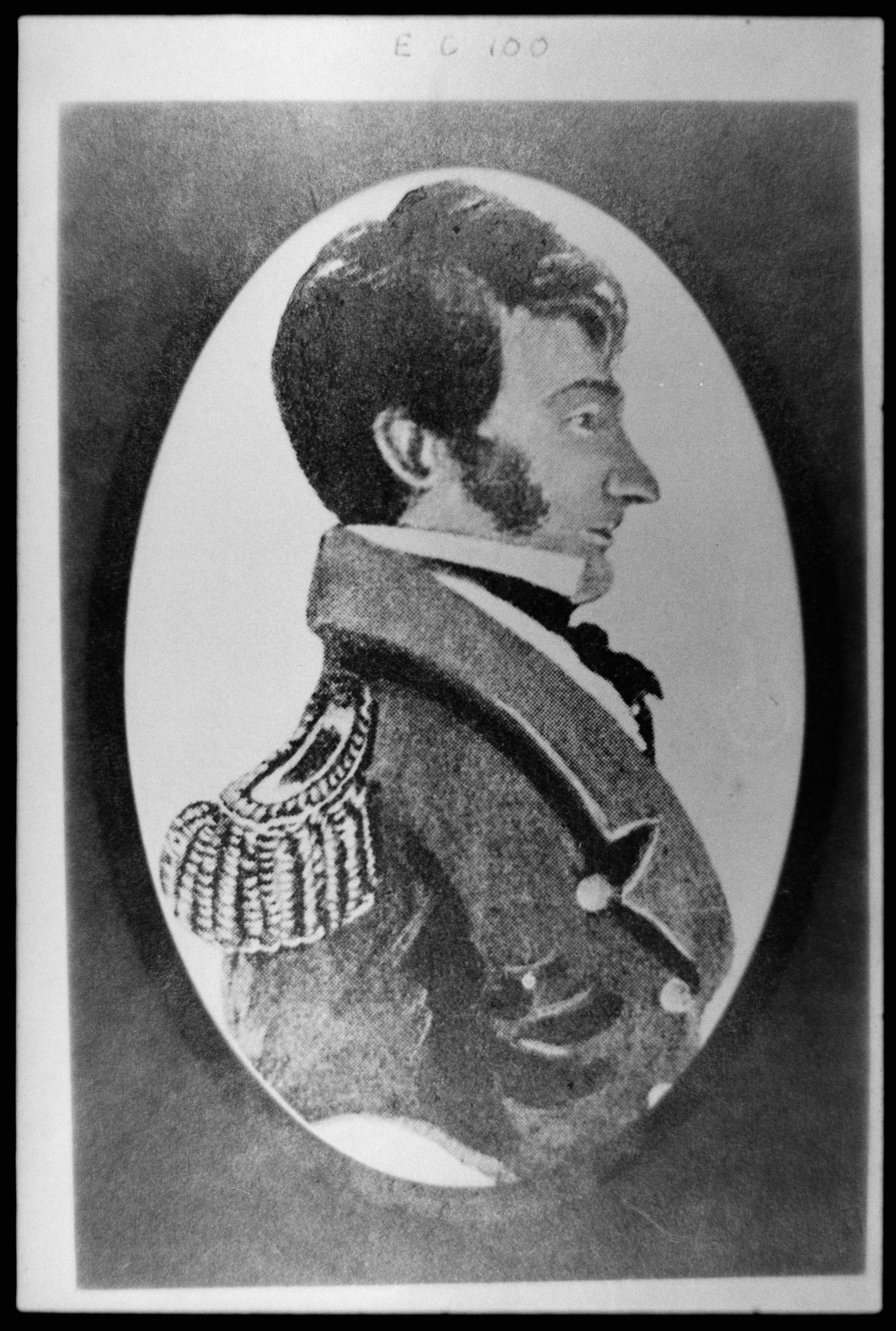
King was born in Torquay on 7 April 1783 and joined the Royal Navy at the age of 12, eventually retiring from active service with the rank of Captain. He then became involved with the Plymouth Company which was formed in his home county to encourage the settlement of Taranaki. Appointed the town’s Chief Commissioner and later Resident Magistrate, he sailed for New Plymouth with his wife Mary Ann King (nee Cutfield) (1789-1883) and their only child William Cutfield King (1829-1861).
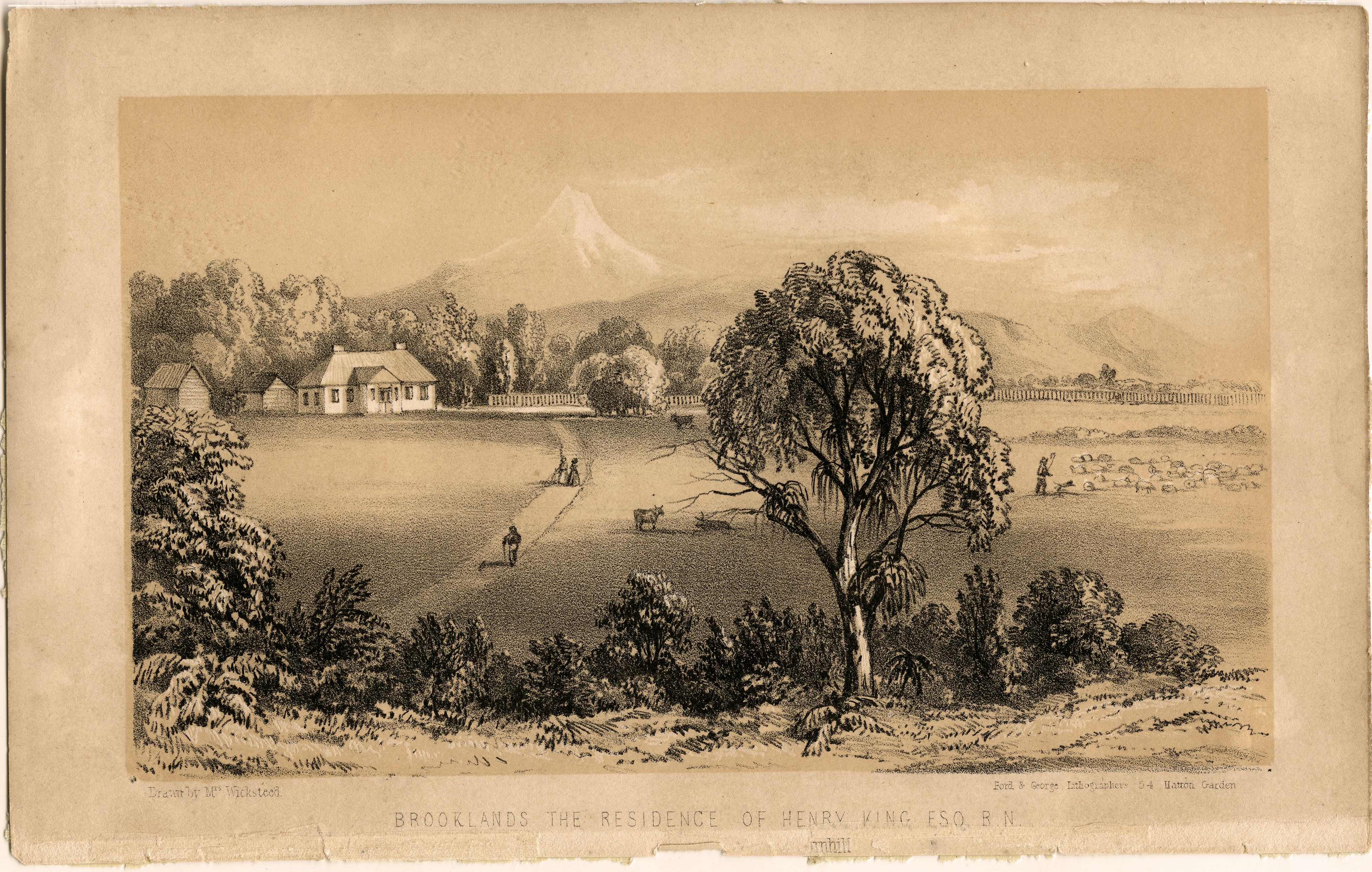
The Kings settled on fifty acres of land they named Brooklands – now the garden estate area adjacent to Pukekura Park – and are reputed to have made the first cheese in Taranaki. They also planted the two Norfolk Island Pines still growing near Brooklands Zoo. Their homestead was burned to the ground in 1861 during the First Taranaki War but the remains of its large fireplace can still be seen near the Bowl of Brooklands. Henry King died in New Plymouth on 6 June 1874 and all shops and offices in town were closed for his funeral. He was buried next to his son, and later his wife, in the churchyard of St Mary’s.
The first mention of King Street in a local newspaper occurred in 1882. It has been home over the years to Ōpunakē’s Presbyterian Church, Town Hall (destroyed by fire in 1937) and bowling club. Kerosene streetlamps were installed in 1905 and the telephone service in 1920. The Waiaua River (its name means “waters containing herring”) was a constant feature of life on King Street in the early days, “encroachment” of the waters during a flood first noted in 1896 and frequently thereafter until the 1940s. High water levels routinely collapsed the riverbanks and caused slips, washing stones and other debris onto King Street with the resulting potholes required frequent patching with extra gravel and clay. Footpaths were formed in 1898 but they too often washed away when the river rose. Serious flood protection measures did not begin until the 1930s with the construction of groynes by gangs of relief workers employed during the Great Depression.
Historic homes on King Street include number 43 built for Arthur O’Brien, former Town Clerk, in 1897. One of the many distinctive old trees on its grounds was once used as a navigational landmark for ships coming into Ōpunakē.
This story was originally published in the Taranaki Daily News.
Related Documents
Opunake township SO7730 (undated c.1923) - ICS Pre 300,000 Cadastral Plan Index (Imaged by LINZ)
Plan of the Town of Opunake (1882). NZ Survey Office. National Library of New Zealand (9917951543502836).
LinkWilliam Cutfield King Memorial (c.1861).
LinkAerial view of King Street, Opunake (24 August 1949). Whites Aviation. National Library of New Zealand (WA-21729-G).
LinkAerial view of King Street and the Waiaua River, Opunake (22 August 1958). Whites Aviation. National Library of New Zealand (WA-47149-F).
LinkPlease do not reproduce these images without permission from Puke Ariki.
Contact us for more information or you can order images online here.