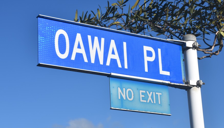
 Oawai Place sign (2025). Mike Gooch. Word on the street image collection.
Oawai Place sign (2025). Mike Gooch. Word on the street image collection.
Oawai Place sign (2025). Mike Gooch. Word on the street image collection.
Oawai Place is a short cul-de-sac in Marfell. It is located at the end of Whakawhiti Street, the junction between the two merely marked by a small traffic island to one side of the road.
Sections on Oawai Place and the adjoining Poharama Place were surveyed in 1969, some five years after the majority of Whakawhiti Street, which may account for the decision to form a brand new road instead of simply extending Whakawhiti Street.
Regular readers of this column will no doubt be aware that in the 1960s and 1970s many New Plymouth streets were simply named after streets from the original Plymouth in Devon, England. Pepper Construction went in a different direction when deciding on names for their new subdivision off Omata Road in 1962. The company sought advice from the local committee of the Historic Places Trust on the suitability of street names with a strong local connection.
Oawai was one of the suggestions, chosen to preserve the name of a nearby pā site. Oawai Pā (also known as Orowai) was located on the western side of Seaview Road, near the bend in the road as it descends toward Devon Street West. The pā site can still be seen in 1950 aerial photographs and is noted on early survey plans of the area.
As with many other historic pā sites in New Plymouth, Oawai Pā has since been built over, but at least the name lives on thanks to this short street in Marfell.
This story was originally published in the Taranaki Daily News.
Related items:
Taranaki DP1619 Sheet 1 (1896), ICS Pre 300,000 Cadastral Plan Index (Imaged by LINZ)
Taranaki DP9349 Sheet 1 (1964), ICS Pre 300,000 Cadastral Plan Index (Imaged by LINZ)
Taranaki DP10123 Sheet 1 (1969), ICS Pre 300,000 Cadastral Plan Index (Imaged by LINZ)
Please do not reproduce these images without permission from Puke Ariki.
Contact us for more information or you can order images online here.


