 Rosendale Avenue sign (2017). Mike Gooch. Word on the street image collection.
Rosendale Avenue sign (2017). Mike Gooch. Word on the street image collection.
Rosendale Avenue sign (2017). Mike Gooch. Word on the street image collection.
New Plymouth grew rapidly in the 1960s and Spotswood was the centre of much of the development.
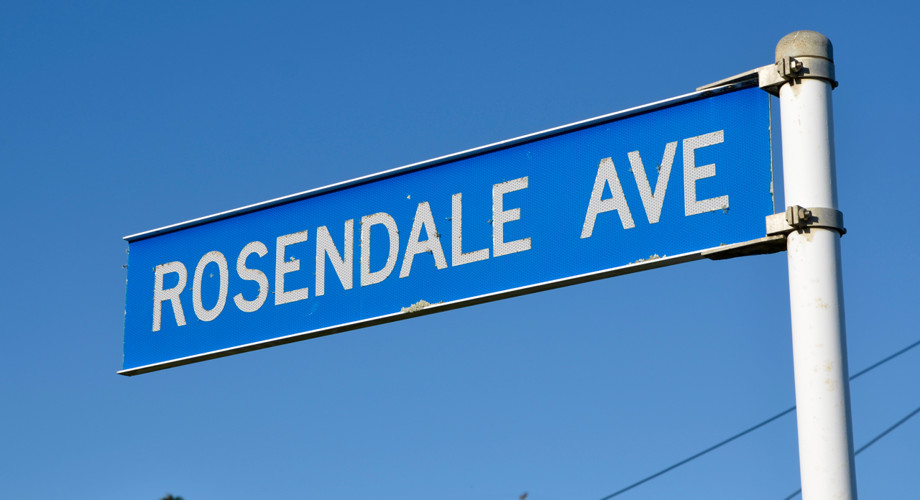
One of the new streets, Rosendale Avenue, was developed in two stages. In the early 1960s it was a short no-exit street off Ngāmotu Road, coming to a dead end just past Lydford Place. Houses near the intersection were set back from road and a traffic island was built, allowing cars to turn at the end of the street.
A small shop, with parking out front, was built beside the traffic island. The traffic island still exists but the shop has since been replaced by two small units.
Only later were survey plans drawn to extend Rosendale Avenue to join with Ngāmotu Road. The extension, along with nearby Rospeath Crescent, developed only slowly over the following years as the demand for property began to fall.
One of the landowners who sub-divided the property through which the road passes was Robert Hoyle. A well-known New Plymouth businessman, he hailed from Lancashire and Rosendale Avenue was named after the area he was born.
This story was originally published in the Taranaki Daily News.
Related plans:
Lydford and Rosendale DP8868, ICS Pre 300,000 Cadastral Plan Index (Imaged by LINZ)
Rosendale Ave DP9090, ICS Pre 300,000 Cadastral Plan Index (Imaged by LINZ)
Rosendale Ave and Eton Place DP9546, ICS Pre 300,000 Cadastral Plan Index (Imaged by LINZ)
Please do not reproduce these images without permission from Puke Ariki.
Contact us for more information or you can order images online here.
The information on this website is provided for general research and reference only. While we try to keep content accurate and current, we make no guarantees about its completeness or correctness. It should not be considered a replacement for a LIM or a Property Report. Some content is supplied by third parties. Puke Ariki has not verified this content and users should check its accuracy before relying on it.The inclusion of a building on the website does not imply heritage status. See SCHED1 in the NPDC District Plan for a list of buildings that have rules about what can happen to or around them (administered by NPDC). See the New Zealand Heritage List for a list of buildings that are celebrated for their heritage significance but are not subject to rules (administered by Heritage New Zealand Pouhere Taonga). Should any corrections need to be made to the records or for more information please contact us.


