

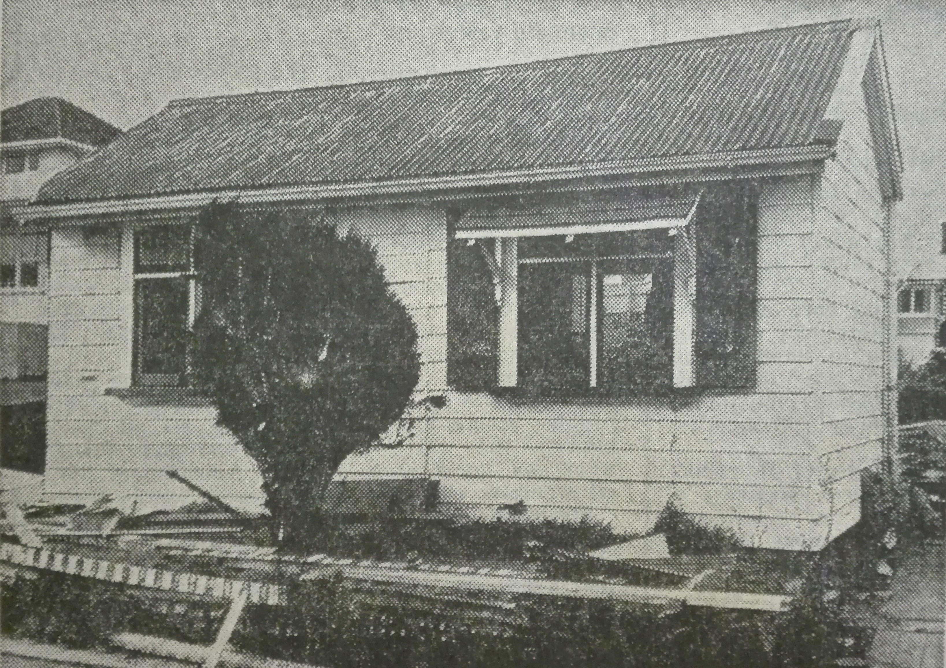
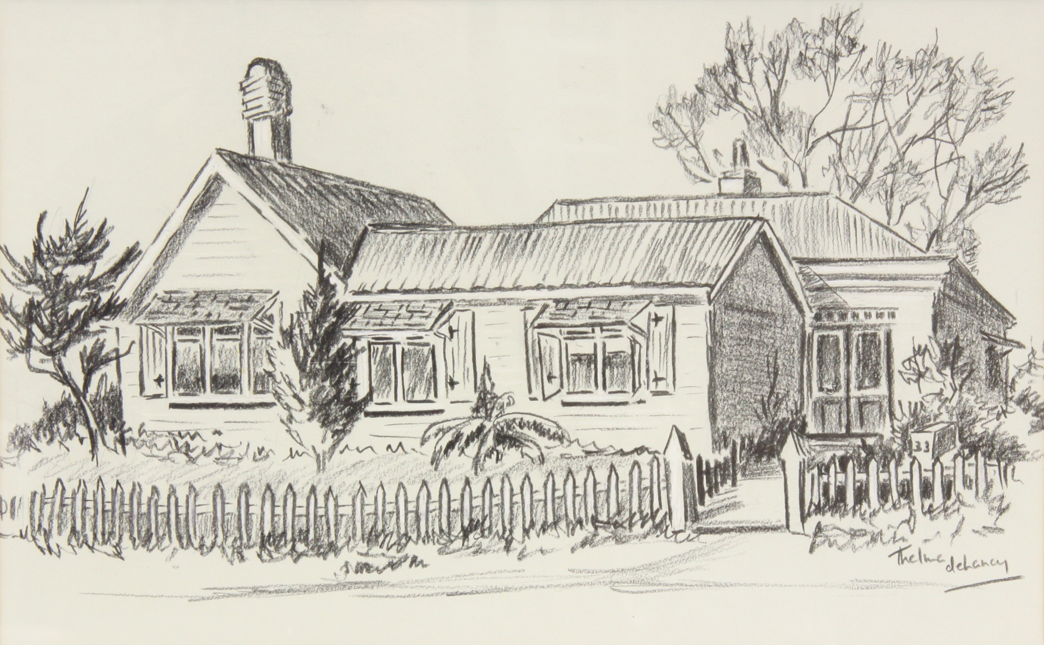
This home was originally constructed for Captain John Watson in the 1850s - it is reputed to have been brought out to New Plymouth, possibly from Devon, as a prefabricated home which was assembled on arrival.
It seems the home had undergone several additions over the years, and by the 1960s the building consisted of several distinct sections. Based on its style, the main rear portion may have been the original prefabricated home, and this was likely demolished in 1968. The front 'cottage' portion was probably a later addition constructed at some point prior to 1880, and along with the rear portion, is clearly present on Skinner's 1880 map of New Plymouth. The north-south gable at the eastern end of the cottage was constructed post-1880 and was likely demolished in 1968.
The front portion was relocated to a farm at Omata in 1968 to be used as a 'farm bach'. The newspaper report mentions that the cottage was to be located near the site of the Battle of Waireka, so was presumably located to a site in the area bounded by Beach, South and Sutton Roads - it is unclear exactly where the cottage was relocated, or if it still survives 50 years later.
Related items:
Town Section 756, Taranaki Land Deed Index I3 Page 353. (Archives New Zealand)
Taranaki DP4565 Sheet 1 (1925), ICS Pre 300,000 Cadastral Plan Index (Imaged by LINZ)
Please do not reproduce these images without permission from Puke Ariki.
Contact us for more information or you can order images online here.


